MATSim Multi-Agent Evacuation Modeling: Simulating Large-Scale Emergency Response
When disaster strikes—whether wildfire, flood, or hurricane—the ability to evacuate thousands or millions of people safely depends on understanding complex interactions between individual decision-making, transportation networks, and time-critical constraints. MATSim (Multi-Agent Transport Simulation), an open-source framework originally developed at ETH Zurich and TU Berlin, has emerged as a powerful tool for modeling large-scale evacuation scenarios with unprecedented detail and realism.
Agent-Based Approach to Evacuation Planning
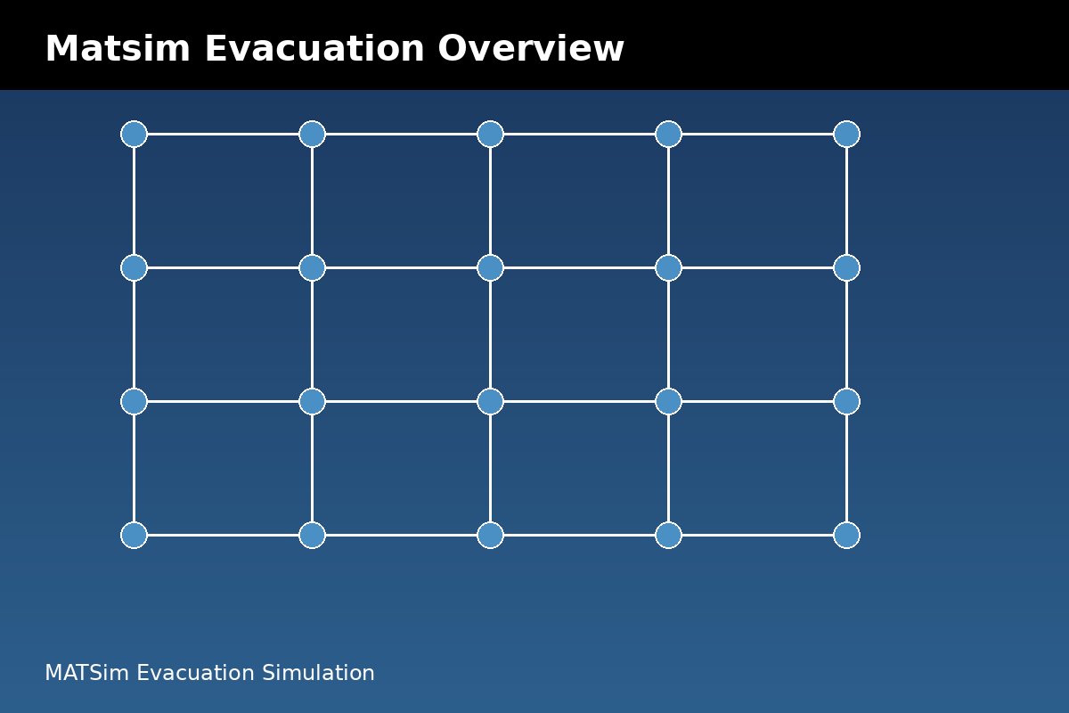
Unlike traditional macroscopic traffic models that treat vehicles as fluid flows, MATSim simulates each evacuee as an individual agent with unique characteristics, departure times, route preferences, and destination choices. This microscopic approach captures emergent behaviors that aggregate models miss—such as shadow evacuation (non-mandatory evacuees leaving preemptively), contraflow dynamics, and shelter capacity constraints.
Each agent in MATSim operates through an iterative learning process. During initial iterations, agents select routes based on free-flow travel times. As the simulation progresses, agents adapt their departure times and route choices based on experienced congestion, creating a co-evolutionary equilibrium that reflects realistic evacuation patterns. This behavioral realism is critical for identifying bottlenecks that only emerge under actual evacuation conditions.

Network Capacity and Contraflow Implementation
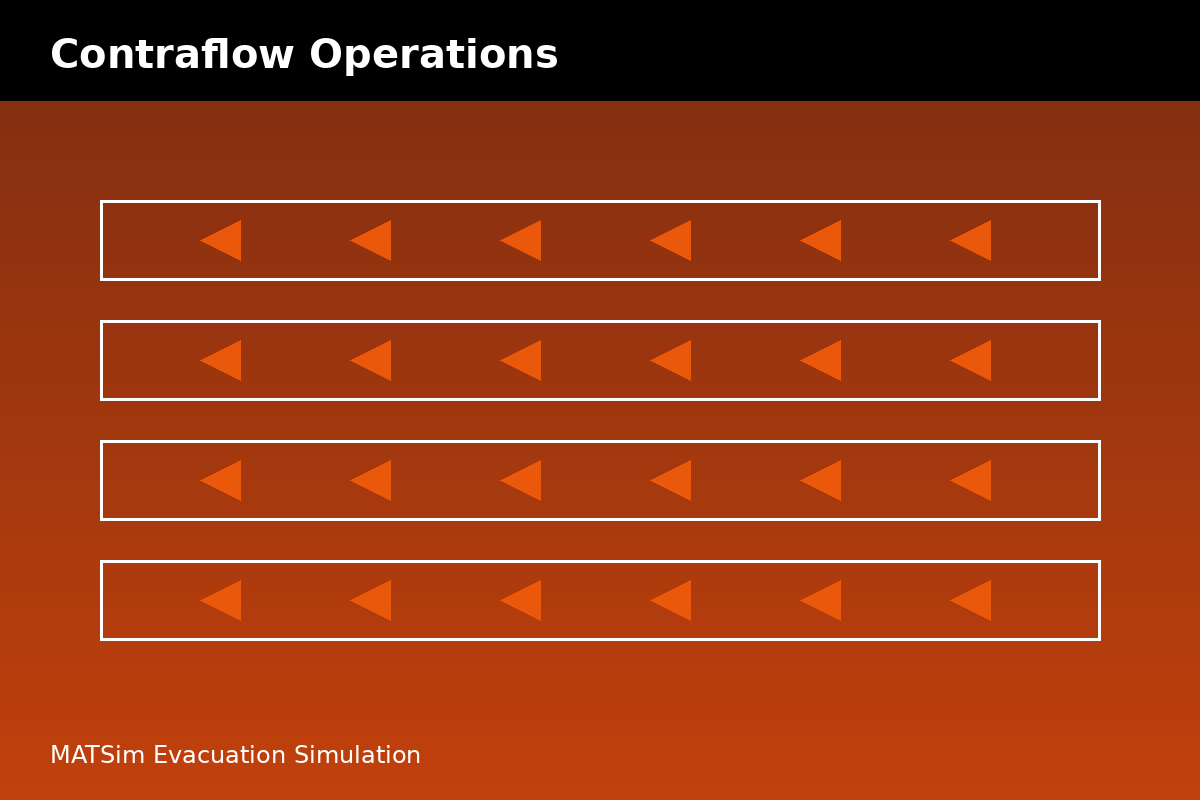
MATSim's queue-based traffic flow model enables planners to test infrastructure modifications before implementation. One particularly valuable capability is simulating contraflow operations—reversing inbound lanes to increase outbound capacity during evacuations. By modeling lane-specific capacities and turn restrictions, planners can evaluate whether contraflow implementations on specific highway segments will reduce clearance times or simply shift bottlenecks downstream.
The framework's network representation supports detailed capacity constraints at intersections, on-ramps, and merge points. This granularity allows analysts to identify critical chokepoints where small capacity improvements—such as deploying traffic control personnel or implementing temporary signal timing changes—can yield disproportionate benefits to overall evacuation efficiency.
Scenario Analysis and Demand Modeling
Effective evacuation planning requires testing multiple scenarios: different warning times, varying compliance rates, staged evacuations by zone, and shelter availability patterns. MATSim's modular architecture facilitates rapid scenario comparison through configurable input files that specify population distributions, behavioral parameters, and network modifications.
Demand generation in MATSim can integrate census data, parcel-level building inventories, and hazard exposure maps to create spatially explicit evacuation demand. Advanced implementations incorporate behavioral models that account for household decision-making delays, pet ownership effects on departure timing, and socioeconomic factors influencing destination choices. These behavioral nuances significantly impact predicted clearance times and shelter loading patterns.
Integration with GIS and Real-Time Data
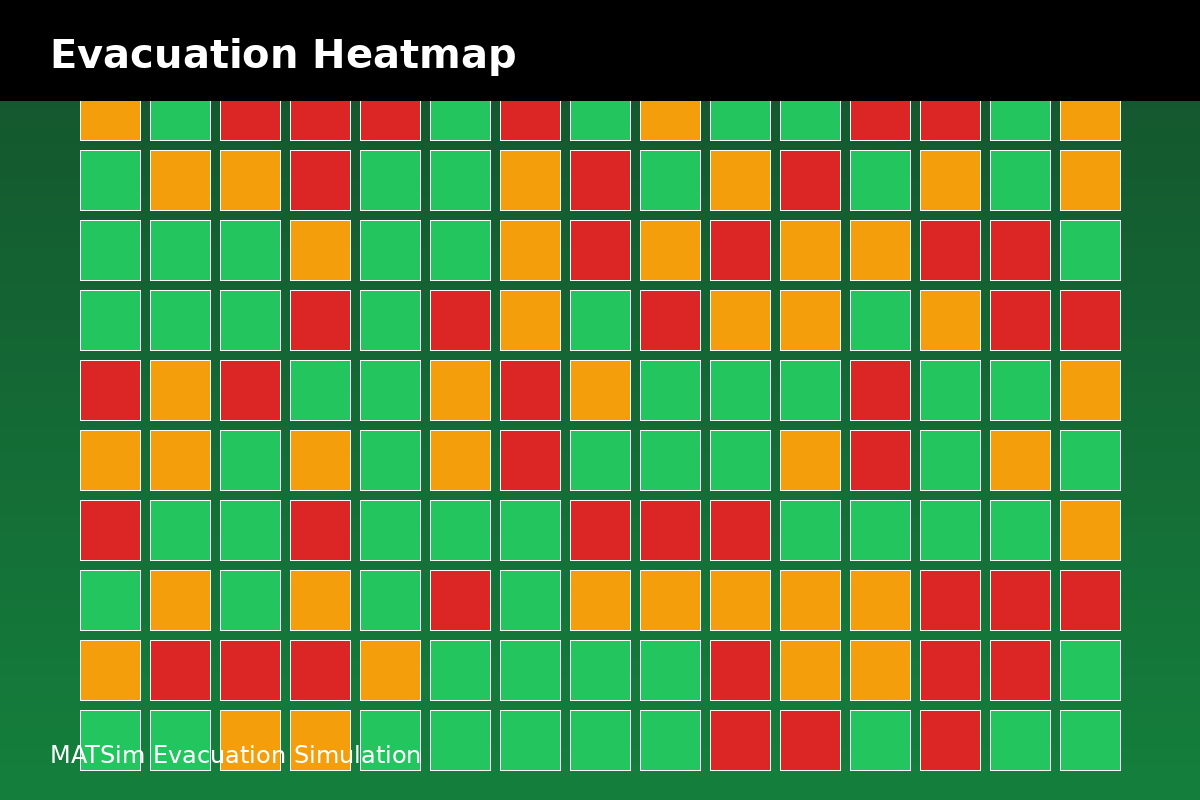
Modern MATSim evacuation studies increasingly leverage GIS integration for network generation and results visualization. Tools like OSM2MATSim automatically convert OpenStreetMap data into simulation-ready networks, dramatically reducing setup time for new study areas. Post-processing tools can generate heat maps of link volumes, identify evacuation time estimates by traffic analysis zone, and produce animations showing evacuation progression over time.
Some advanced implementations integrate real-time traffic data feeds to initialize simulations with current conditions, enabling "what-if" analysis during actual events. This capability transforms MATSim from a planning tool into a potential operational decision support system, though computational requirements currently limit real-time application to smaller networks or simplified models.
Validation and Calibration Challenges
The primary challenge in evacuation modeling is validation—actual large-scale evacuations are rare, and when they occur, comprehensive data collection is rarely prioritized. MATSim practitioners typically calibrate models using observed traffic counts from past evacuations, household survey data on departure timing, and stated-preference studies on route choice behavior.
Recent research has explored using mobile phone location data and GPS traces from past evacuations to validate agent-based models. These datasets provide unprecedented insight into actual evacuation behavior, though privacy concerns and data availability remain significant barriers. Synthetic validation approaches, such as comparing MATSim results against other established evacuation models for the same scenario, provide additional confidence in model predictions.
Practical Applications and Case Studies
MATSim has been applied to evacuation planning in diverse contexts: hurricane evacuations in coastal regions, wildfire evacuations in California, tsunami evacuations in Japan, and nuclear emergency planning zones. A notable application involved modeling the evacuation of the San Francisco Bay Area under various earthquake scenarios, revealing that staged evacuations by neighborhood could reduce clearance times by 30-40% compared to simultaneous departure.
The framework's scalability enables region-wide analysis—simulations of entire metropolitan areas with millions of agents are computationally feasible on modern hardware. This scale is essential for realistic evacuation modeling, as traffic impacts often extend far beyond the immediate hazard zone due to shadow evacuation and network interdependencies.
Getting Started with MATSim for Evacuation Studies
MATSim is available as open-source software under GPL licensing, with extensive documentation and example scenarios at matsim.org. The learning curve is significant—users need familiarity with Java programming, transportation modeling concepts, and GIS tools—but the community provides active support through forums and annual user meetings.
For agencies beginning evacuation modeling efforts, starting with simplified networks and gradually adding complexity is advisable. The MATSim book, available freely online, provides comprehensive guidance on model setup, calibration strategies, and interpretation of results. Several consulting firms also offer MATSim-based evacuation planning services for agencies lacking in-house expertise.
Conclusion
As climate change increases the frequency and intensity of natural disasters, sophisticated evacuation modeling tools like MATSim become increasingly essential for emergency management. The framework's agent-based approach, network detail, and scenario flexibility enable planners to identify vulnerabilities, test interventions, and develop evidence-based evacuation strategies that can save lives when disasters strike. While challenges in validation and computational requirements remain, MATSim represents the current state-of-the-art in large-scale evacuation simulation.